NUESTROS Productos
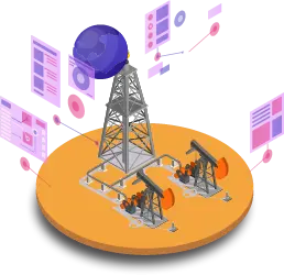
Proyectos industriales con realidad aumentada
Permite tener una visión a través de un dispositivo tecnológico móvil en forma directa o indirecta, permitiendo asociar el entorno físico con elementos virtuales para la creación de una realidad mixta en tiempo real.
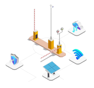
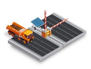
SMART BARRIER
Sistema de control de acceso de personal y vehículos móviles mediante la integración de tecnología RFID y cámara de alta definición.
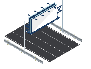
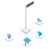
Sistema de letreros luminosos autónomos
Sistema de señaléticas y letreros luminosos que presentan mensajes, indicaciones personalizadas por el cliente, funcionan de manera autónoma, se puede interactuar de manera remota y en tiempo real.